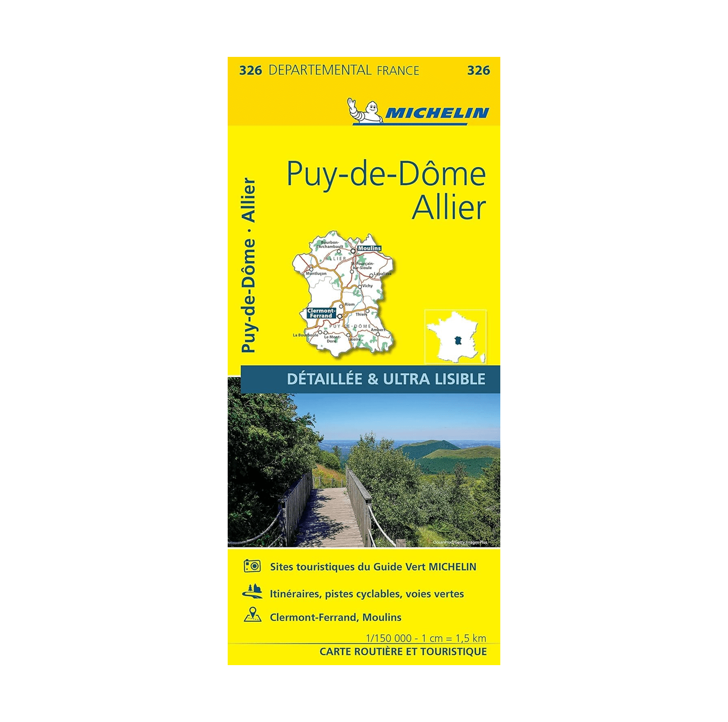
Road map of the Bouches de l’Allier and Puy-de-Dôme localities, published by Michelin. Detailed map including a place name index, suggested itineraries, cycle tracks and Voies Vertes (paths for non-motorised travel). Selection of the most beautiful sites.
Insert of small plan of Clermont-Ferrand and Moulins. Scale 1/150,000 (1 cm = 150 m).
Year of edition : 2024
Made in France