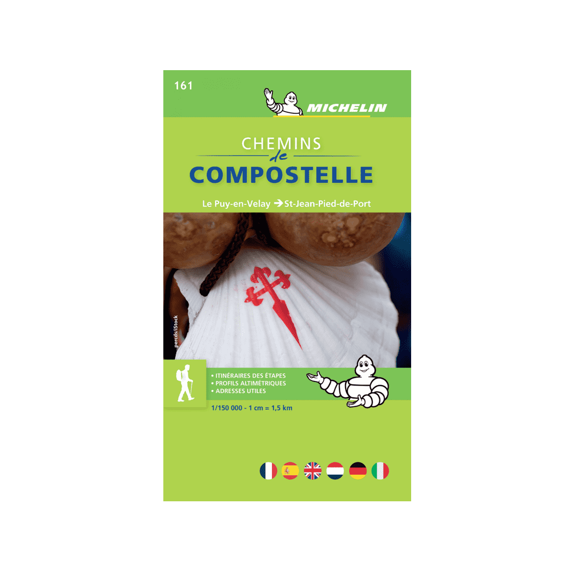
The MICHELIN booklet is a must-have for walkers on the Camino de Santiago. From Puy en Velay to Saint Jean Pied de Port, the route is divided into walking stages. Thanks to its format, it’s easy to find practical information. For a given stage, consult the ALTIMETRIC PROFILE of your route and the 1/150,000 map (1 cm = 1.5 km). The CITY PLANS of Figeac, Cahors, Moissac, Condom, Saint-Jean-Pied-de-Port and Le Puy-en-Velay are also included. With MICHELIN maps and atlases, find more than just your route!
2020 Edition
Printed in Poland
French edition